Hy-Brasil
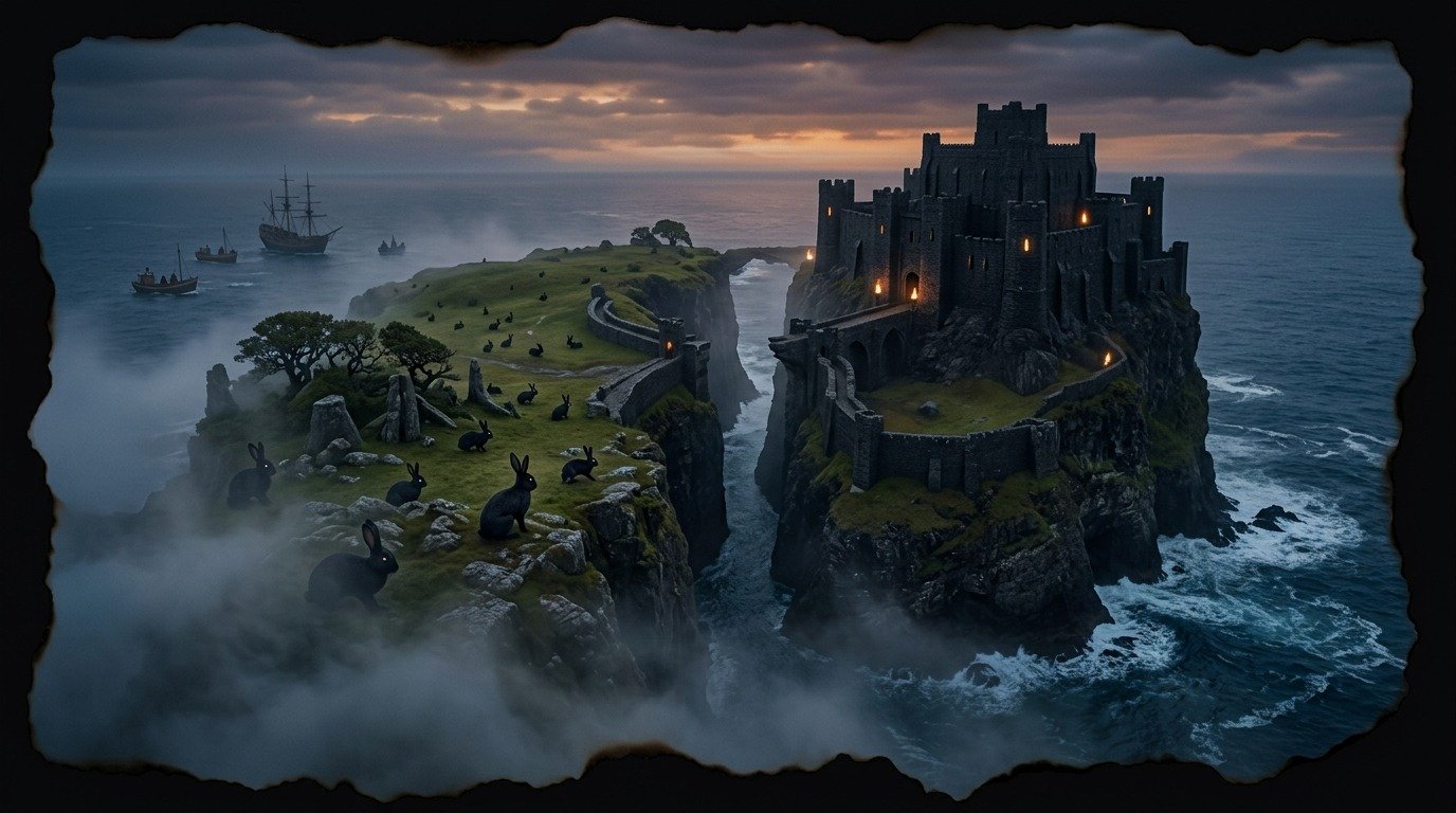
Hy-Brasil: The Island That Emerges from the Mist Every Seven Years
According to an account published in 1675, in the spring of 1674, Irish captain John Nisbet was sailing with his crew through a dense fog in the North Atlantic, about two hundred miles west of the coast of Ireland. Suddenly, the mist cleared, revealing a rugged coastline that did not appear on any of his navigation charts. Nisbet ordered the anchor to be dropped and sent four of his men in a boat to the shore. Upon landing, the sailors found an island of green pastures guarded by a large black stone castle. There was no livestock or ordinary crops, but there were enormous black rabbits running among the rocks. In the castle, they came across an old man with a white beard who received them in silence, gave them gifts of gold and silver, and warned them that they must depart before the fog closed in over the island again.
The Cartographic Enigma
Hy-Brasil was not a novelty to sailors of the era. Its name comes from the Gaelic word *Breasal*, which means "island of the blessed" or "home of the fortunate clans."
What is baffling about Hy-Brasil is its historical consistency in official cartography. It first appeared on a map by Genoese cartographer Angelino Dulcert in 1325 as a perfectly circular island divided in two by a central channel. For more than five centuries, cartographers of the stature of Ortelius and Mercator included it in their world maps as a real and indisputable territory west of Ireland.
During the 15th century, the English port of Bristol became the center of expeditions aimed at finding the island. Merchants financed ships that set sail year after year with a single objective: to colonize Hy-Brasil and seize its rumored forests of precious woods and its coasts teeming with cod. Many expeditions returned claiming to have sighted the island's coast, but asserted that a sudden, magical fog prevented them from approaching it.
The Fortress of the Wizard of the Atlantic
Irish mythology describes Hy-Brasil as a land inhabited by immortal beings and pagan priests who possessed advanced knowledge of the cosmos. The most widespread legend claims that the island is under the influence of a powerful spell that keeps it hidden from the human eye, except for a single day every seven years.
During that brief day of revelation, the island emerges from the Atlantic mist and is visible from the western coasts of Ireland. However, attempting to sail toward it is futile: the island seems to recede at the same speed at which the ship advances, or vanishes completely upon contact with the bow of the vessels. Local legends claim that the spell will only be broken when someone manages to throw fire onto the island's land from a ship, which will permanently fix it in our physical plane.
Ghosts on the Radar Screen
Today, stories that defy logic circulate among fishermen and sailors off the coasts of Galway and Donegal.
There are tales of sailors who saw landmasses suddenly appear on their radars in deep areas of the ocean where there are no recorded islands or sandbanks. Looking toward the horizon at those exact coordinates, witnesses describe a dark silhouette of green hills floating on the water, shrouded in a grayish mist that does not match the weather conditions of the rest of the day. These sightings last only a few minutes before the radar clears completely and the horizon once again shows only the vastness of the empty ocean.
The Geological Secret Underwater
The scientific explanation for this cartographic mystery points to a combination of visual phenomena and prehistoric geology. Climatologists suggest that historical sightings of the island were caused by the optical effect known as *Fata Morgana*, a complex mirage that distorts shapes on the marine horizon due to temperature differences between air layers, making distant rocks or low clouds look like towering islands.
On the other hand, geologists point to the existence of the Porcupine Bank, a shallow area of the Atlantic continental shelf located precisely west of Ireland. During the last ice age, when global sea levels were about one hundred and twenty meters (394 feet) lower than today, some researchers believe that parts of that area may have been exposed as islands before being submerged by meltwaters.
The memory of this emerged land may have survived through the oral tradition of the ancient Celtic peoples, transforming over the centuries into the myth of the elusive island. Hy-Brasil remains there, suspended between map and myth, a round shadow that challenges sailors from the edge of an ocean that never fully reveals all its secrets.
Comments
Share information, an experience, or a source to help enrich this entry. They are automatically reviewed before being published.
Loading comments...