Bermuda Triangle
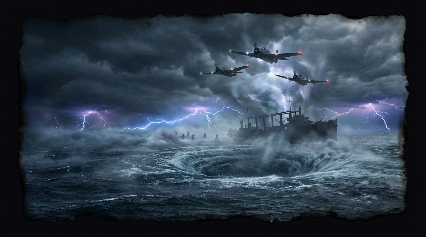
Bermuda Triangle: The Blue Abyss That Devours Steel
The Last Message of Flight 19
At 2:10 p.m. on December 5, 1945, five US Navy TBM Avenger bombers took off from the Fort Lauderdale base in Florida for a routine training mission known as Flight 19. Three hours later, the control tower received increasingly confused transmissions from the patrol leader, Lieutenant Charles Taylor, who believed he was over the Florida Keys and could not orient himself; popular accounts attribute phrases to him such as "we don't know which way is west." The five planes and their fourteen crew members disappeared from radar screens. The rescue seaplane sent that same afternoon to search for them also vanished into thin air a few hours later. Not a single piece of metal, fuel, or life jacket was ever recovered.
The Graveyard of Metal Giants
The territory comprising the Bermuda Triangle extends over one million square kilometers (386,000 square miles) of the Atlantic Ocean between the coasts of Miami, Puerto Rico, and the Bermuda archipelago. Since the 19th century, this sector of open sea has been the stage for disappearances that defy all nautical logic. In March 1918, the USS Cyclops, a giant US Navy collier with 309 crew members on board, sailed into these waters bound for Baltimore. The ship possessed radio communications and sufficient stability, but vanished completely without sending a single distress signal.
The Heartbeat of Atlantis Beneath the Waves
Legends about this sector of the ocean date back to Christopher Columbus himself, who wrote in his logbook that, upon crossing this area, compasses suffered inexplicable deviations and a great ball of fire fell from the sky into the sea during the night. Writers and theorists claim that beneath the dense sand of the seabed lie the technological ruins of Atlantis, whose energy crystals, still active, emit electromagnetic bursts capable of disorienting modern navigation instruments and opening temporal rifts in the sky and water.
The Terror of Crazy Compasses
Today, despite technological advances in satellite navigation and weather radar, commercial ship captains and civil aviation pilots report anomalies in their guidance systems when crossing the coordinates of the Triangle. The most common phenomenon described by sailors is the appearance of "electronic fog," a dense, static-charged mist that suddenly envelops vessels, cutting off radio signals and causing digital indicators to display erratic and impossible readings.
The Highway of Wind and Gas
The geography of the Atlantic offers more earthly explanations. This region is the main corridor of the Gulf Stream, swift and relentless, which disperses shipwreck debris hundreds of kilometers (hundreds of miles) in just a few days, and is one of the most heavily trafficked maritime and aerial zones in the world, battered by sudden storms. Some scientists have also proposed that methane gas eruptions from the seabed could reduce water density and sink a ship in seconds, although there is no evidence that this has ever occurred. Insurance companies and the United States Coast Guard maintain that no more vessels disappear in the Triangle than in any other high-traffic area.
The Bottom of the Abyss
At eight thousand meters (26,246 feet) deep, in the Puerto Rico Trench, the steel skeletons of ships and planes rest in the absolute silence of perpetual darkness, buried by the ocean current that erases all human traces from the surface.
Comments
Share information, an experience, or a source to help enrich this entry. They are automatically reviewed before being published.
Loading comments...